Those seeking a short side trip into the forest will marvel at the natural beauty of the Cispus River Area. Watch the waters of the Cispus as they flow gracefully through the forest. Options to extend this forest tour include wildlife watching, hiking, fishing, a simple quiet walk in the woods – and more!
Road Trip Itinerary
Length: 29.3 miles
Time to Allow: 2 hours
Open Season: The route is usually snow-free by the end of May and remains open through October. The road closes each year due to winter snowfall from November to May.

Driving Directions: From Randle, travel south on State Route (SR) 131 for 1 mile and stay right on Forest Road (FR) 25. Follow FR25 8.9 miles to FR76 (at Iron Creek CG); turn left on FR76. Follow FR76 7.8 miles to FR28; turn left on FR28. Follow FR28 1.4 miles to FR23; turn left. Follow FR23 9.2 miles back to Randle.

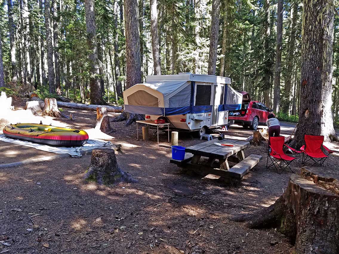
Start: This journey begins in the small mountain community of Randle located on Highway 12. Restaurants, vehicle and RV services, and campgrounds are available.
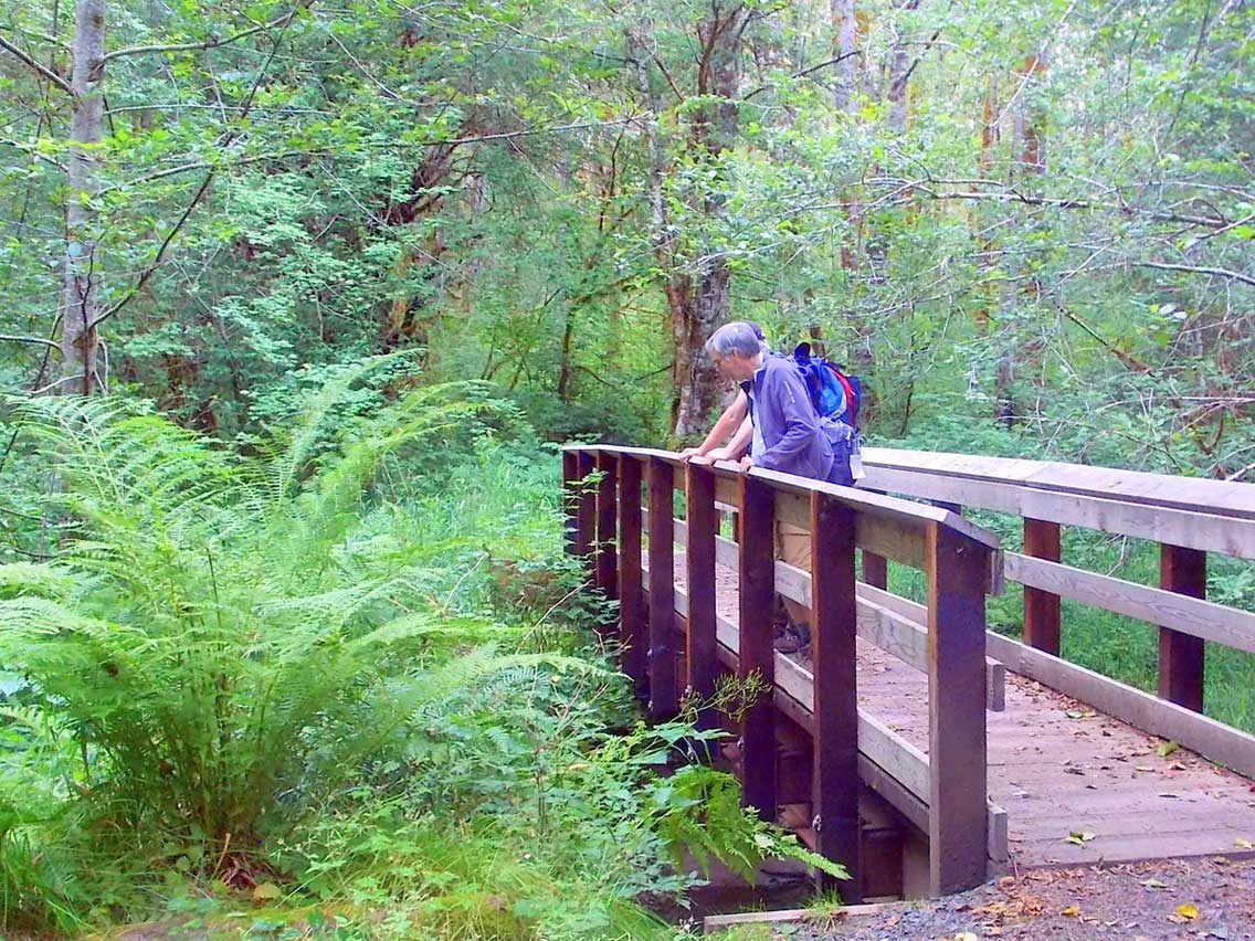
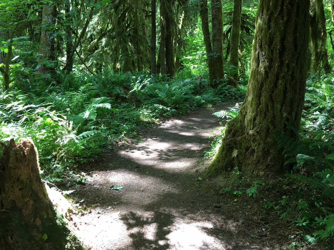
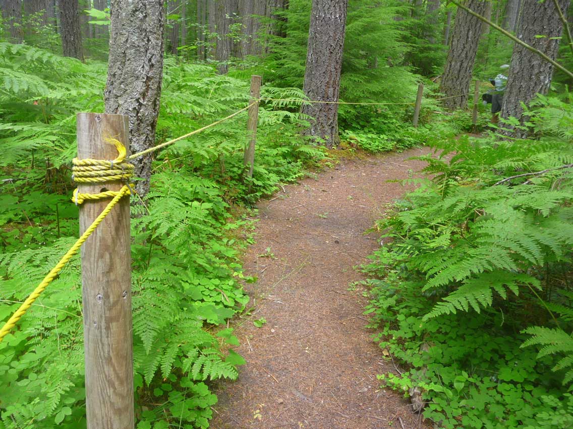
Stop 1: Woods Creek Watchable Wildlife Trail – Stop in for a short and family-friendly hike along the Woods Creek Trail #247. This scenic and serene 1.5 mile loop travels through five habitat areas, offering hikers an opportunity to learn about the wildlife and their habitats. This path passes through a mixed hardwood conifer forest, winds along the edges of a meadow, follows a beaver pond and enters a hardwood forest offering a burst of color in the fall. A favorite area for bird watching, bring a guidebook along and name the many feathered friends that call this area home. For a longer walk, continue on Trail 247A, the Old-Growth Loop, taking you through an old-growth Douglas-fir stand. Trail 247 was built to barrier free standards. It is four feet wide with compacted gravel surfacing. The area also offers a day-use picnic area and restrooms.
Stop 2: Iron Creek Area – Located along Iron Creek and the Cispus River, stop a moment to soak in the surrounding beauty at popular Iron Creek Campground’s day-use area. From the picnic area, enjoy a walk along the 0.3 mile signed Iron Creek Old-Growth Trail. Weave through old-growth forests of fir, cedar and hemlock while following the scenic Cispus River. For a longer hike, continue for 1.5 miles on the Iron Creek Campground Trail. This trail is a barrier-free trail designed for everyone, including people with disabilities, families and anyone else looking for a wide, level trail. The first half of this trail continues to follow the stunning Cispus River. There are occasional benches and turnouts so stop a moment and listen to the sounds of the forest and river. See the remains of an old railroad trestle over the riverbed. The trail leaves the river on the northwest corner of the loop through magnificent stands of Douglas-fir and Western red cedar. Just a few miles further on FR 25, stop for a short nature walk to view Iron Creek Falls. One of the prettiest waterfalls in the area, it pours powerfully off a cliff and into a large clear pool. Downstream from the falls is a great place to let the kids splash around and play in the creek at low water levels.
Stop 3: Tower Rock Campground – For those who would like to spend some time fishing, stop at Tower Rock Campground, situated on the banks of the Cispus River. This river is known for its great fishing. Each summer, anglers come from all over to drop a line in these rich fishing waters. Take in the view of ever-prominent Tower Rock, the campground’s namesake, standing over 2,000 feet above the valley floor.
Notice: Cispus River – Traveling along FR 76, notice the scenic Cispus River off on the left as it winds its way through the rugged forests paralleling the road for much of the time. This cascading stream is a hotspot for outdoor enthusiasts. Popular pastimes include kayaking, whitewater rafting, and fishing. The Cispus is known as one of the area’s best fly fishing waters where anglers enjoy reeling in Rainbow Cutthroat and Eastern Brook Trout.
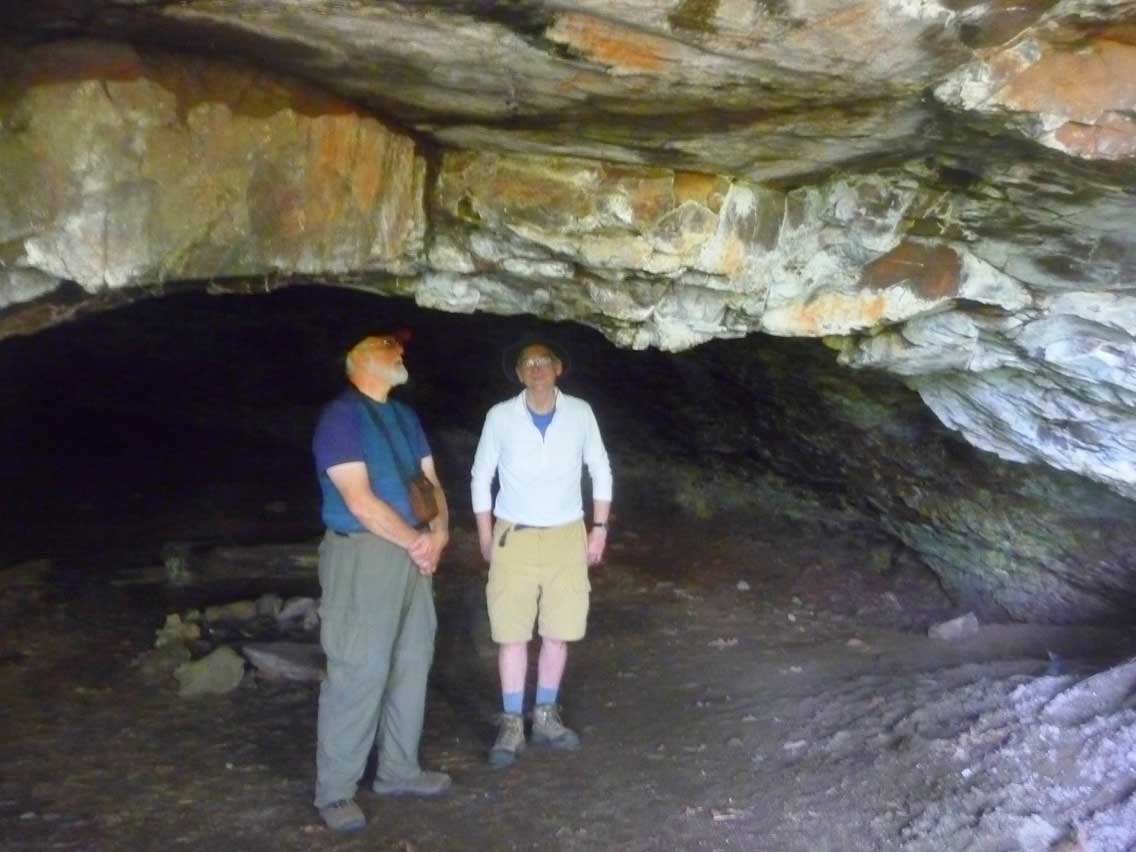
Stop 4: Layser Cave – Certainly worth a stop, take a short walk to the entrance of Layser Cave, one of the most significant archaeological sites in western Washington. Animal bones and stone tools found on the floor of the cave and buried in the soil layers enabled experts to piece together a history of more than 7,000 years. Today we can duck down into the dark cool cave and imagine what the people were like who shared this space thousands of years before us. Signs along the trail help explain how archaeologists pieced together the story of the cave’s use.
End: This loop route comes to an end as it rejoins US 12 in Randle.
Many roads have steep drop offs on the either side. Always drive with caution and expect wildlife. Please check local ranger stations for winter road closures. For current road conditions, click here.
![]()
Download the Cispus Loop Road Trip Itinerary