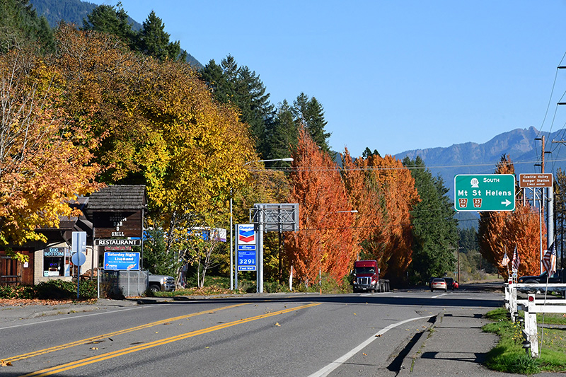
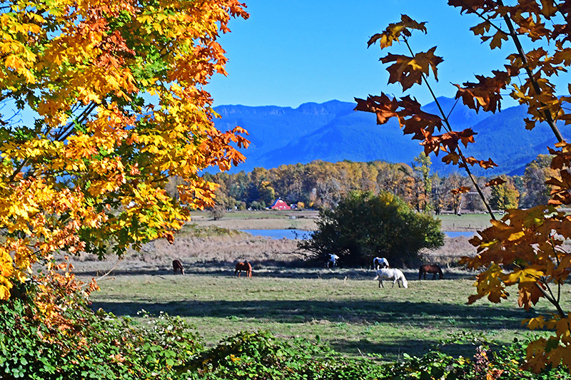
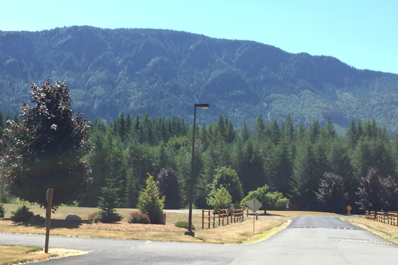
Gateway to Mount St. Helens and Mount Adams backcountry. The rural area around Randle is known locally as the “Big Bottom Valley,” describing the valley floor of the Cowlitz River which is big, flat, and fertile.
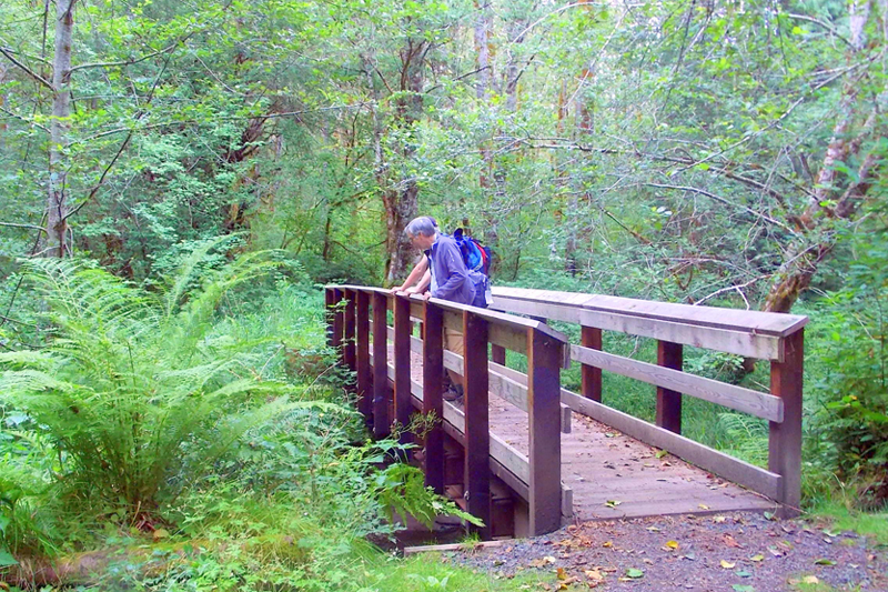
Randle is a mainly residential community in unincorporated Lewis County with some services and supplies. It has an active timber mill and is home to the ranger station for the Cowlitz Valley Ranger District of the Gifford Pinchot National Forest. Randle boosts access to the Windy Ridge viewpoint of Mount St. Helens, as well as the Mount Adams backcountry and to a wide variety of outdoor recreation in the forest. The Cowlitz River is a great fishing area and the scenic beauty is beyond compare.
Explore Randle
Named for: James L. Randle, the first settler in 1886. The townsite was founded in 1902.
Home of: 4th of July Big Bottom Blast
Population: unicorporated
Elevation: 896 ft.
Location: Randle, 49 miles east of I-5, is also the intersection between the White Pass Scenic Byway and Hwy 131, connecting to the major roads through the Gifford Pinchot National Forest, FS 23, FS 25 and FS 99.
Coordinates:
46°32′07″N 121°57′26″W
Climate: July average high 64.3 degrees; January average low 36.2 degrees; 60 inch average precipitation
More Information: