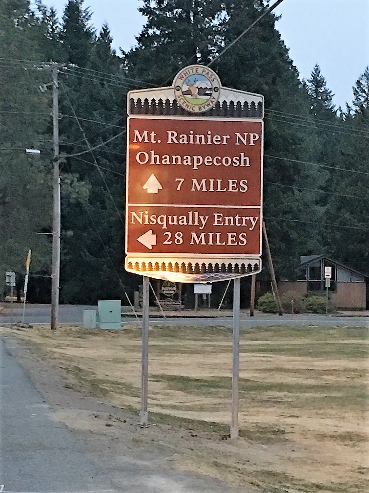
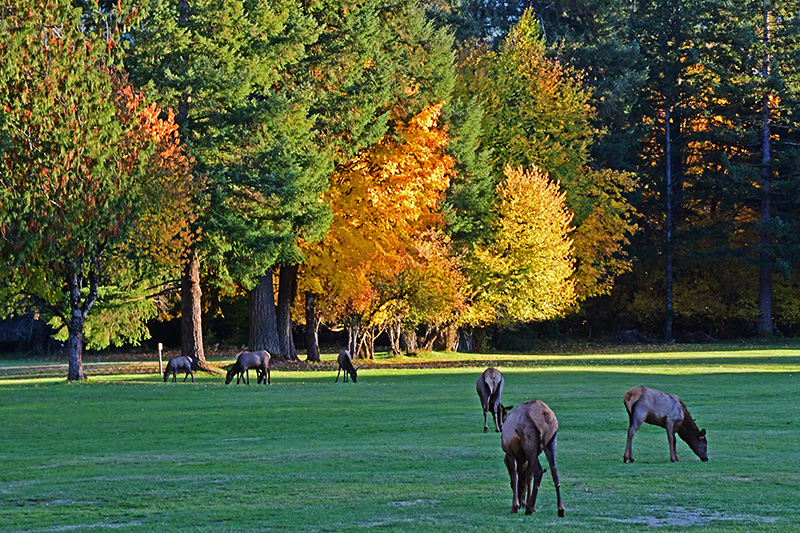
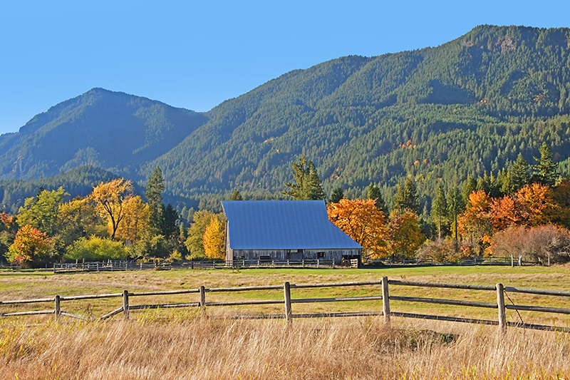
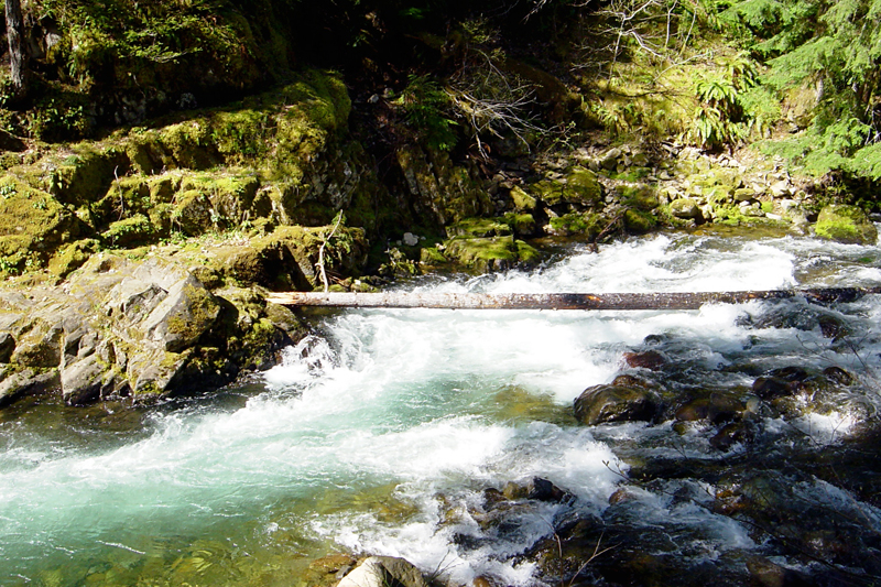
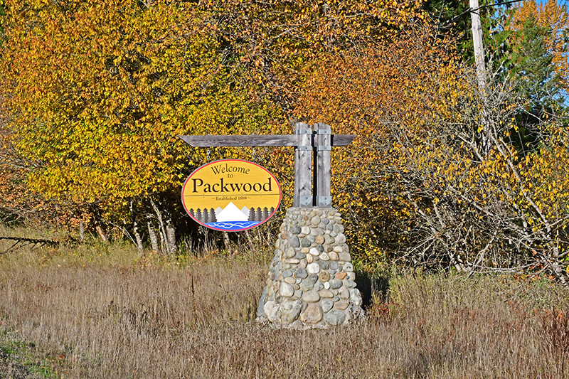
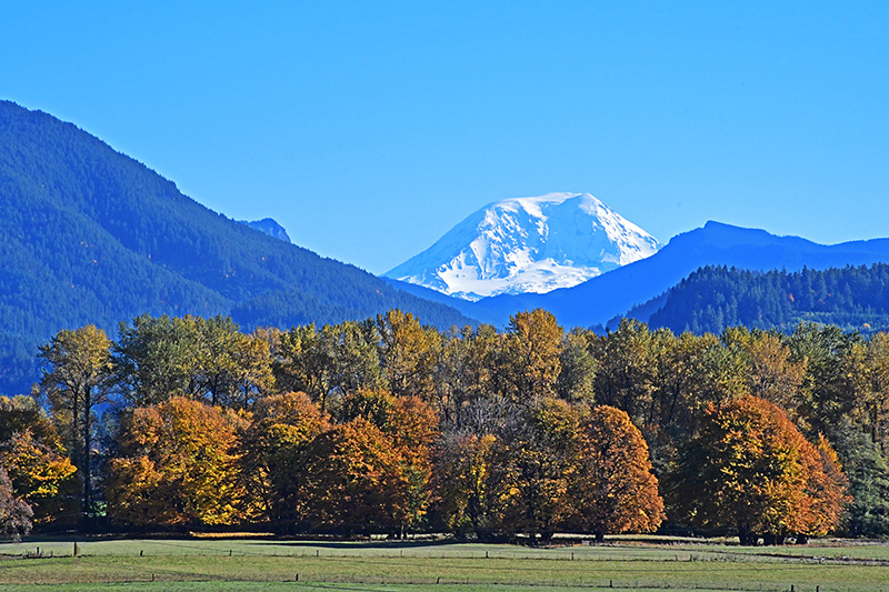
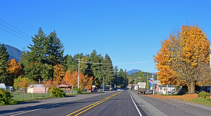
Set at the base of the Tatoosh Range and on the banks of the Cowlitz River, Packwood is surrounded by dramatic natural landscapes, most of which are in public ownership. Packwood, located less than ten miles from the Ohanapecosh entrance to Mount Rainier National Park, also has a fairly direct connection to the Nisqually entrance via Skate Creek Road during the summer months. The area offers a wide range of lodging near Mount Rainier, Mount St. Helens, and the Gifford-Pinchot National Forest in the summer. Packwood provides lodging for White Pass Ski Area skiers and snowshoers during the winter. The Cowlitz River comes crashing off a glacier high on the flanks of Mt. Rainier and winds through Packwood. Steelhead in the river makes fishing wonderful. Mushrooms and huckleberries abound in the forests. Camping and lodging provide a perfect respite for adventure and leisure travelers.
Proximity to Mt. Rainier National Park, White Pass Ski Resort and the Cowlitz River make this area a base camp for recreation. The town of Packwood has historically relied on the forest products industry as an economic engine, supplemented by government employment (via the National Forest and Park Services) and seasonal tourism.
Explore Packwood
Named for: William Packwood, a Virginian pioneer and explorer of Oregon and Washington.
Home of: the Packwood Flea Market held each Memorial and Labor Day weekends.
Population: unincorporated
Elevation: 1,053 ft.
Location: Packwood is located at the intersection of US Highway 12 an National Forest Road 52 (Skate Creek Road). It is located between Mount Rainier National Park and Mt. St. Helens National Volcanic Monument to the south. Packwood is located in the upper Cowlitz valley. The White Pass Ski Area and Cascade Pacific Crest demark the eastern edge of the Packwood area.
Coordinates: 46°36′14″N 121°40′40″W
Climate: July average high 63.9 degrees; January average low 26.3 degrees; 28 inch average precipitation
